The campground is one loop among the trees, berries and other plants.
The sites are nicely spaced and quite private. These trees were 3-6' tall when we first came here.
In the center of the loop is the restrooms and showers making them convenient to everyone in the campground via several trails like spokes in a wheel.
A short way down the road down to the south beach is bluff with picnic tables and a bench to enjoy the views.
There is a trail that follows the bluff all the way to the lighthouse road with spurs that go back into the campground.
Along the trail there are several spots along the bluff for views.
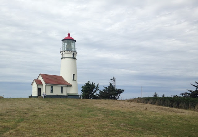
After taking the trail to the end of the campground we returned and too the truck over to the lighthouse for some pictures. You can tour the lighthouse but we have done that before and opted to just take some pictures from the cape.
Looking north the beach goes all the way to the Sixes River.
To the south the beach goes to the Elk River, That is Port Orford Head in the distance.
That is Whale Rock in the distance.
Exploded view of Whale Rock, I don't know if that is the official name but that is what we have called it for the last 40 years.
Looking back to the cape and the lighthouse.
At low tide the tide pools in the rocks below the lighthouse are great to explore with all kinds of sea life in them. It is a bit of a climb down and back up though.
At one time Cape Blanco claimed to be the western most point in the contiguous United States. Washington differed with them and may have the honors but at least it is for Oregon. The lighthouse is 5 miles out from US Hwy 101.
If you don't like a lot of wind, possible fog, and cold, Cape Blanco is not for you. It is famous for the wind.
We will figure out what is next tonight or in the morning.


No comments:
Post a Comment